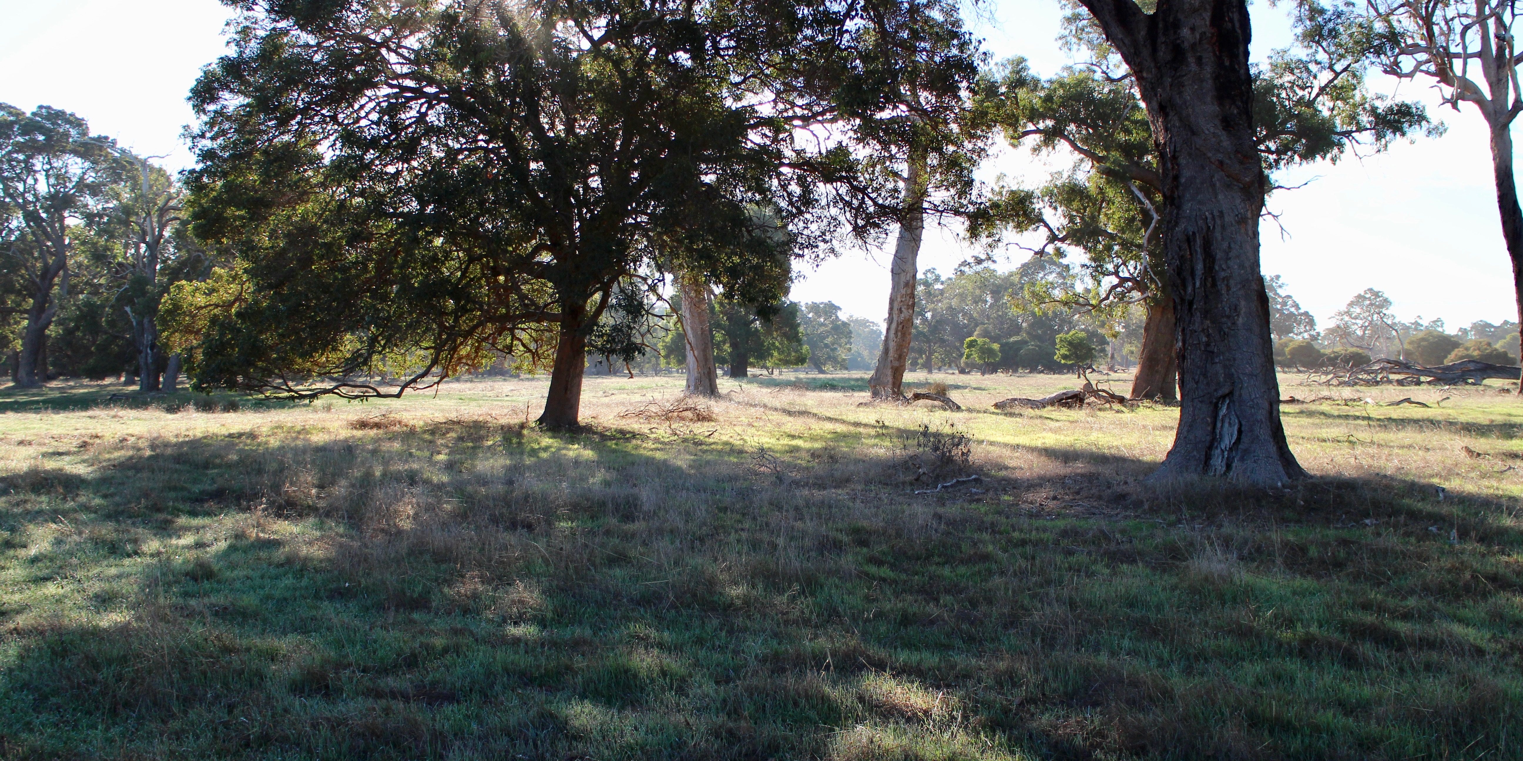
Agricultural properties usually have a range of soil types and land forms that have different potentials for agricultural crops.
Assessment of these and other more detailed factors help to produce a report that documents the potential Land Capability units suitable for annual and perennial crops.
Properties that are proposed to be subdivided require a Land Capability Assessment for each proposed Lot
Property Plan – Area
An accurate plan of the property is required (1 : 2000) with all the natural features. These are shown by an aerial photo from DOLA . The area location of the property and the Land Capability Boundaries of documented reports for the area.
Aerial Photo/Contours
The latest aerial photography and 2 – 5 metre contours overlaid on the plan help to define soil boundaries and natural features. The general topography of the property and the slopes can be determined.
Vegetation – Pasture
The natural vegetation can determine the soil types of the property as some plant species prefer a certain soil type and are more prolific in these areas.
Existing pasture can also show changes in soil types by the density and type of pasture.
Soil Investigation – Type
To clearly determine the variation of soil types within their profiles, excavated backhoe pits are used to determine topsoil depth to clay subsoil. The profiles are photographed and logged for inclusion in the report. The minimum density of the pits is 14 per 40 hectares.
Soil texture, drainage, root depth and seepage areas are logged.
Crop Options
Perennial
Subject to the location, soil types and available water supplies, perennial crop options are documented.
Annual
The annual crops available for different properties are subject to soil types and land capability units. E.g. pasture, vegetables, flowers.

